Longford Park, Trafford’s largest municipal park is located in Stretford and borders Chorlton cum Hardy on its Eastern side. Friends of Longford Park are a group of local people who work with Trafford Council to improve and promote the park as a vibrant local facility for all age groups.


Latest News and Events
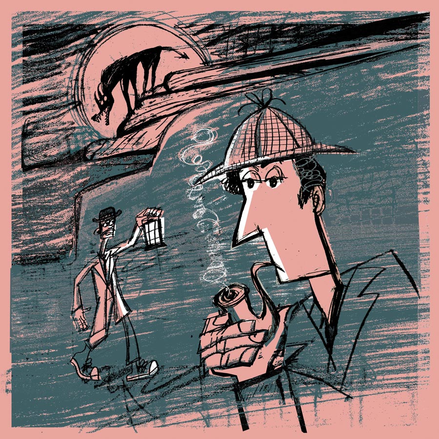
🎭 The Game is Afoot — Open Air Theatre Returns to Longford Park!
Posted: June 2026
After a year away, our much-loved open air theatre is BACK — and we’re going out with a bang (or should that be a howl?). This June, grab your picnic rug, pack a hamper, and settle in for a gloriously fun evening under the open skies of Longford Park. The critically acclaimed Pantaloons Theatre Company brings you a thrillingly inventive
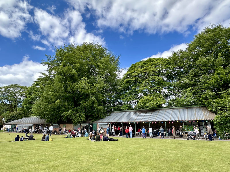
Another great Community Allotment Open Day!
Posted: May 2026
The Community Allotment had another very successful Open Day on Sunday 10 May. A warm sunny day saw large numbers of people, adults and children, come along to enjoy the various activities. Click here for more photos.

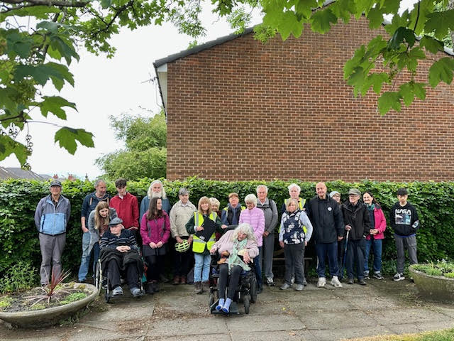
Dementia Friendly Walks in Longford Park
Posted: May 2026
Come and join in for a guided nature walk around the park. Last Wednesday of every month.
Click here for more details.
Lottery Funding Works Update: tree stump grinding
Posted: May 2026
Please click here for information regarding some planned tree stump grinding works at Longford Park, following the recent tree felling activity.

Bowling News Longford Park
Posted: May 2026
All new members welcome! Check out the details by clicking here.
Health Walks 2026
Posted: May 2026
Click here to check out the dates and times of the Health Walks in Longford Park.


Next FOLP Committee Meeting: Monday 13th April 2026 -7:00 pm
Men’s Bowling Club House